
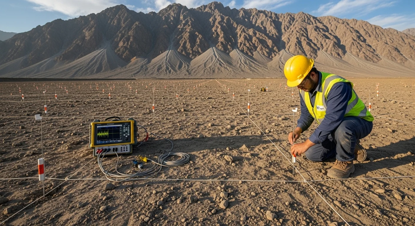
Electrical Resistivity Tomography
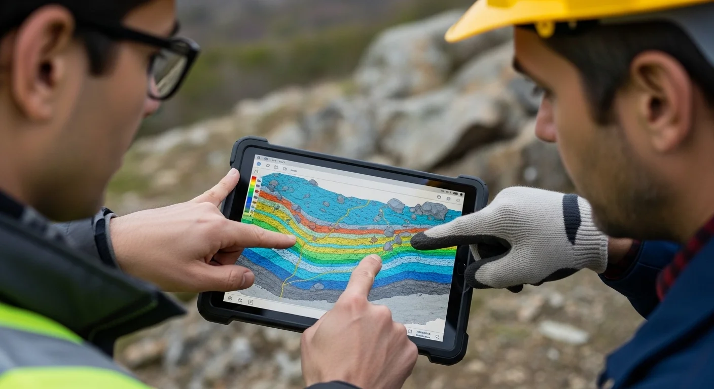
Non-invasive subsurface imaging for soil and rock profiling.
We investigate the ground (its water, its rock and its structure) so you can build, drill and invest with confidence.
We read the ground layer by layer, from topsoil to bedrock, using resistivity, seismic and radar methods.
Aquifer mapping, groundwater potential zoning and borehole siting, with pH and TDS screening on site.
Topographic survey, DEM and terrain analysis, prepared to meet CDA and project-design requirements.
Talk to us early: the right investigation saves cost later.
We investigate the ground: its water, its rock and its structure, so that clients can build, drill and invest with confidence. Every assignment ends in clear, submission-ready reporting.

Led by Mohsin Zubair, a seasoned professional in geology and engineering, Advanced Geo Services stands at the forefront of geotechnical and hydrological solutions. With a commitment to precision and sustainability, we help shape the infrastructure of tomorrow.
Our team of experts uses state-of-the-art technology to deliver comprehensive site investigations, so every project is built on a foundation of scientific certainty and safety.
From precise site investigation to advanced resource mapping, we offer a comprehensive range of technical services. Our methodology integrates field expertise with cutting-edge sensors to support diverse engineering projects and resource exploration.
Non-invasive subsurface imaging for soil and rock profiling.
Analyzing underground structures through high-resolution seismic waves.
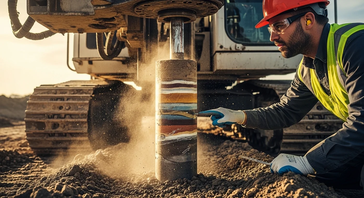
Comprehensive soil testing and site stability assessments.
Accurate spatial data analysis and topographical visualization.
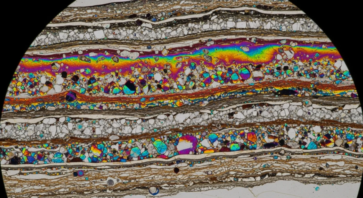
Locating and evaluating valuable natural deposits.
Expert analysis of ground and underground water resources.
We combine geophysics, geotechnics, hydrology and GIS, so findings are cross-checked rather than resting on a single method.
Our team has delivered surveys from the Islamabad plains to the Neelum and Hunza valleys.
Reports, maps and sections are prepared to meet CDA and project-design requirements.
Our associate network of geologists, hydrogeologists, geophysicists, geotechnical engineers and GIS specialists brings in the exact expertise each project needs.
A lean structure means direct access to decision-makers and efficient pricing.
Delivering high-precision technical engineering, hydrology, and geospatial solutions across Islamabad.
Prepared CDA-compliant Hydrology & Flood Risk Assessment studies including catchment analysis, stormwater evaluation, flood risk interpretation, and technical reporting.
Conducted groundwater potential studies using Geoelectrical Resistivity Survey (ERS) and BR500 Water Detection systems for subsurface profiling.
Executed geo-electrical resistivity surveys, groundwater exploration, field investigations, and hydrogeological reporting for the National Police Foundation.
Prepared detailed topographic maps, contour analysis, terrain assessment, and site characterization reports to support planning and infrastructure.
Brief, site constraints and the questions the investigation must answer.
Survey layout, measurements and quality-controlled data collection.
Data cleaning, inversion and geophysical or geospatial analysis.
Subsurface models and target identification, checked against site geology.
Findings, maps, sections and submission-ready recommendations.
Professional field instruments through our equipment partners. Hover a card to see what it finds.
Talk to us early: the right investigation saves cost later.